
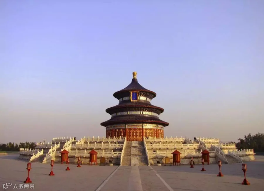
Beijing
Photo from internet
Beijing has more than three thousand year’s worth of history, with ten dynasties choosing Beijing as their capital city, forming and shaping the city that we know (and mostly love) today.
Through the centuries the City of Beijing has undergone numerous name changes:
Yandu (燕都) - During the reign of the Shang dynasty (approx.1600 - 1046 BC), the city was named Yan for the region’s name at the time, whilst Du directly translates as capital.
Youzhou (幽州) - During the Han dynasty (206 BC - 220 AD)
Nanjing/Yanjing (南京/燕京) literally meaning the south capital as it was in the South of Luoyang.
Dadu (大都, big capital, 都 capital) in the Yuan dynasty (1271 - 1368).
Youzhou (幽州) - During the Han dynasty (206 BC - 220 AD)
Nanjing/Yanjing (南京/燕京) literally meaning the south capital as it was in the South of Luoyang.
Beiping & Beijing (北平,北京) in the Ming dynasty (1368-1644).
Jingshi (京师, Jing, Shi- capital) in the Qing dynasty (1644 -1912).
Jingzhao (京兆, Zhao-border) in the Republic of China (1912 - 1949).
01
The Qing Dynasty (1636 - 1912)
Out of all of China's dynasties, Beijing in the Qing dynasty most closely resembled the city we know it today.
Beijing was separated into two during this time, with the North walled off and reserved for the Bannermen*.
These men then were separated into different banners, much in the same way as the British royal family is divided up into houses; these banners then lived in different regions within the city walls (as can be seen on the map). Those who were not Bannermen usually lived south of the city walls.
And the Qing dynasty government divided Beijing into 9 administrative area, as can be seen in this map:
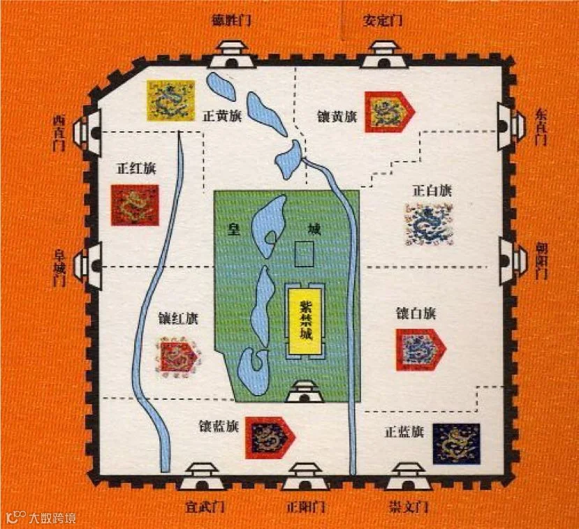
Photo from internet
02
The Bannermen Districts
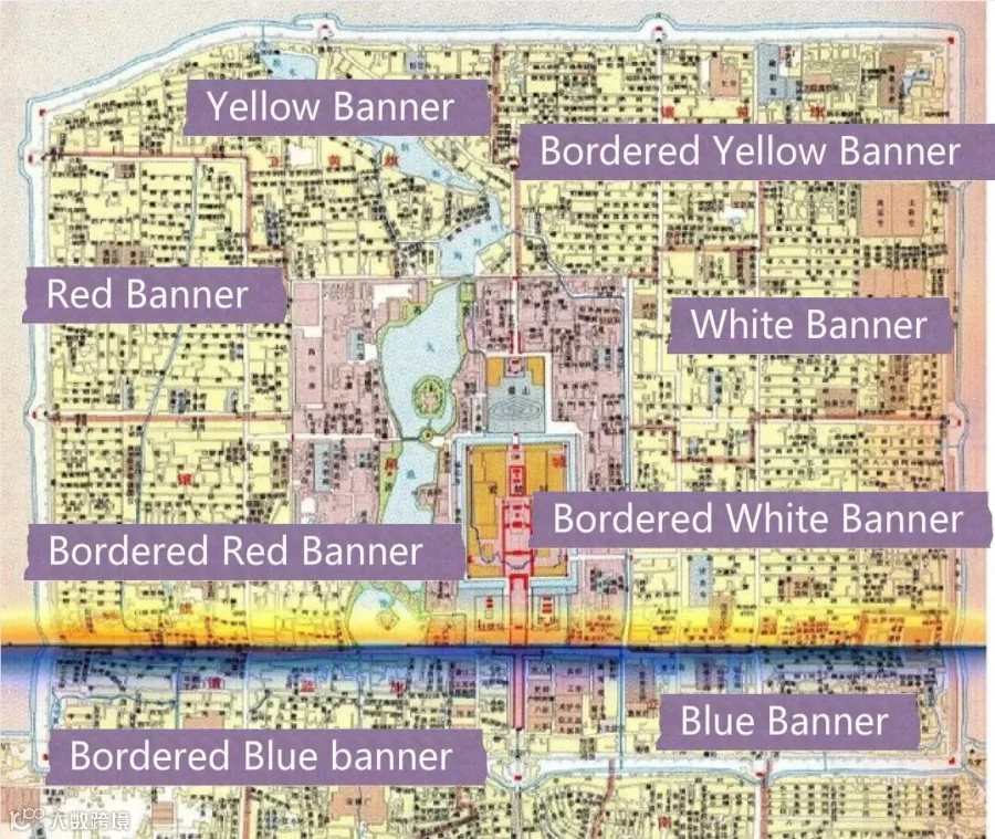
Photo from internet
03
SiJiuCheng
That’s also where the famous name of Beijing—“SiJiuCheng” came from.
“Si” means four in Chinese and stands for the four gates of Huang district -Tian’anmen, Di’anmen, Dong’anmen, Xi’anmen. While “Jiu” 九 meaning the number nine, refers to the nine gates of the walled city.
Some of these gates may sound familiar to you (thanks to the Beijing subway network):
· Zhengyangmen (also known as Qianmen)
· Chongwenmen
· Xuanwumen
· Chaoyangmen
· Fuchengmen
· Dongzhimen
· Xizhimen
· Andingmen
· Deshengmen
Here is the picture for it:
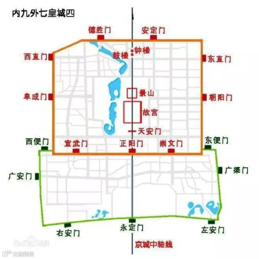
Photo from internet
North city VS South city
Those are all what we used to call the North city of Beijing, but, how about the southern part of the city?
Why was there a large difference between the north and south of Beijing?
Well,when the Qing dynasty (the people of the Manchu nationality) attacked the Ming dynasty’s Han population, via Shanhaiguan (the northern boarder of the Ming dynasty), the victorious Qing government decided to separate their Eight Banners from the local population. Thus, the Han people were forced to move to the south side of Beijing.
Nowadays, these differences have some what remained with the North of Beijing strongly associated with education and culture, think about Haidian for example, while the South is associated with traditional parks and temples.
Let’s take a look at a map from the Qing dynasty.
Comparing modern Beijing with the capital during the Qing dynasty in 1900.
Here is the map from the Qing dynasty.
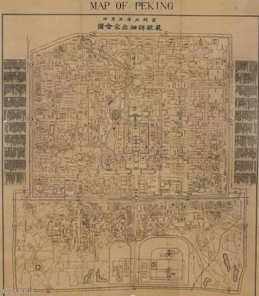
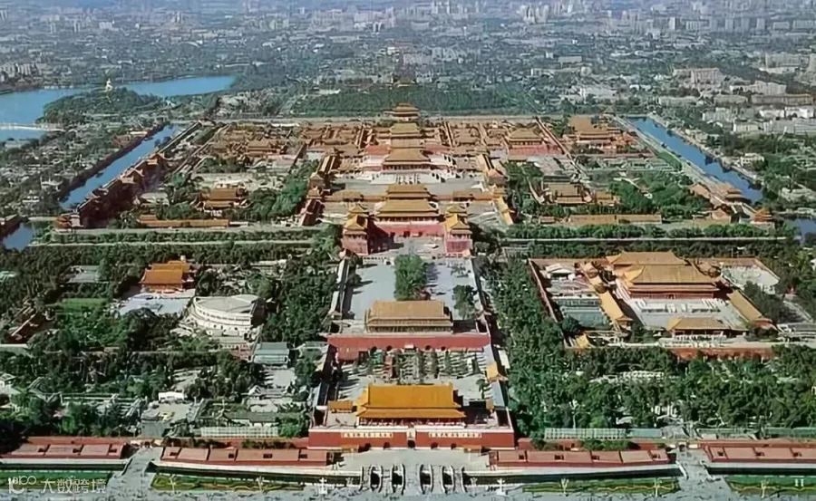
Photo from internet
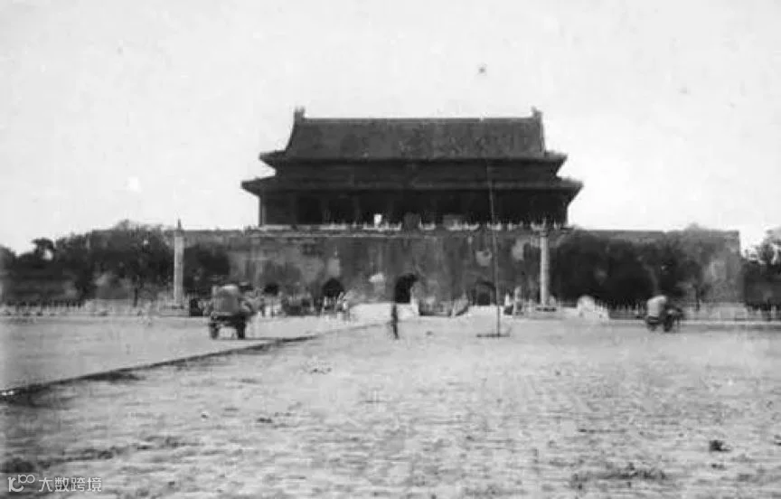
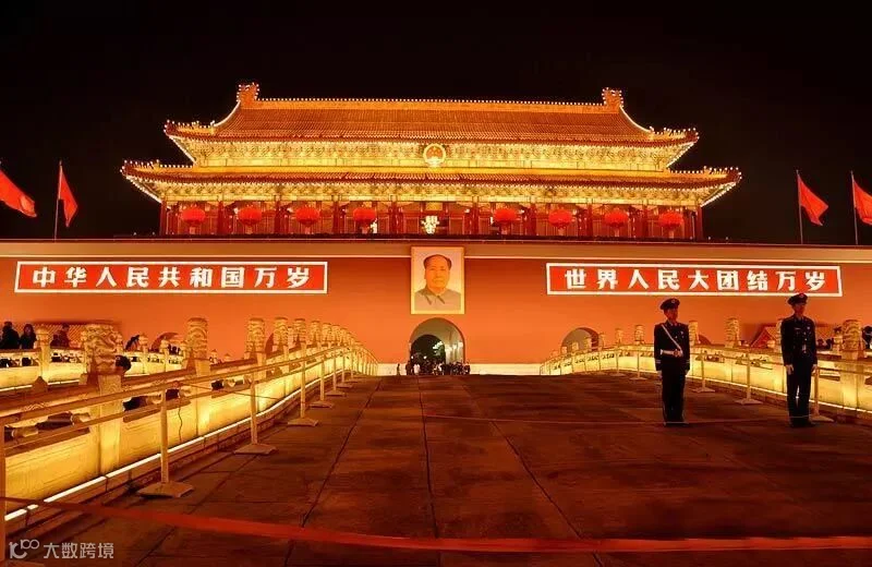
Photo from internet
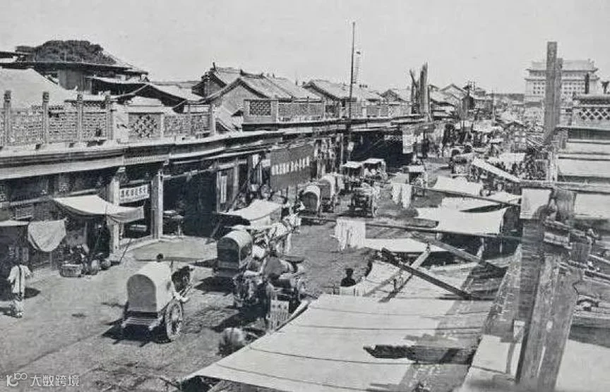
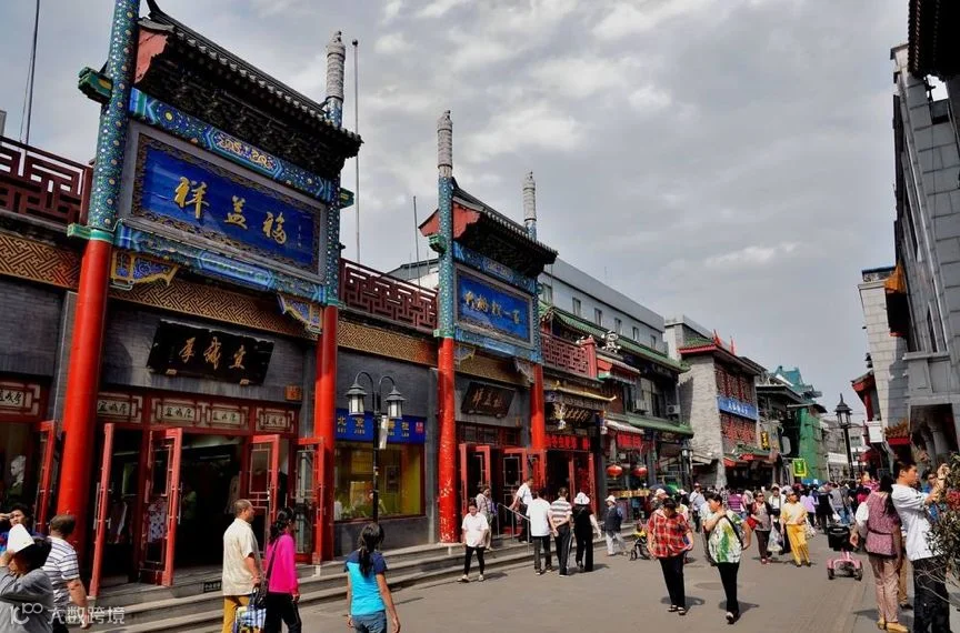
Photo from internet
Qianmen street(前门大街). In the past and now.
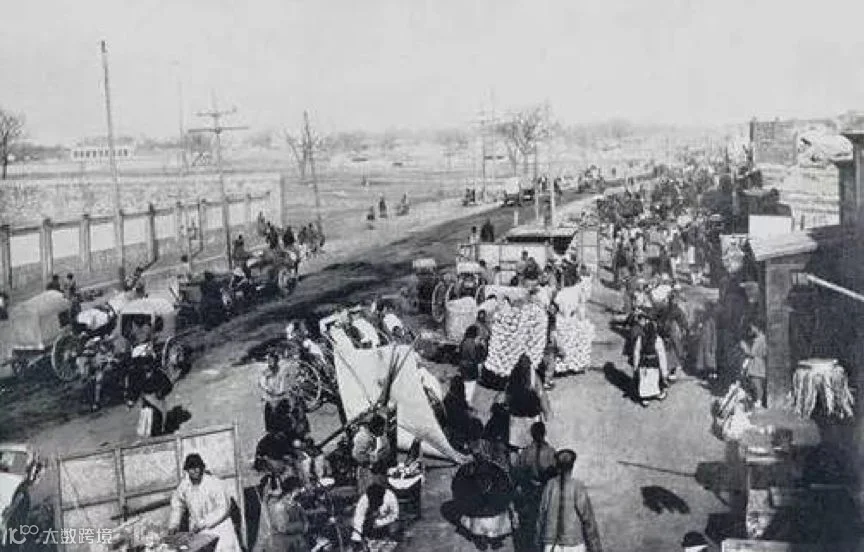
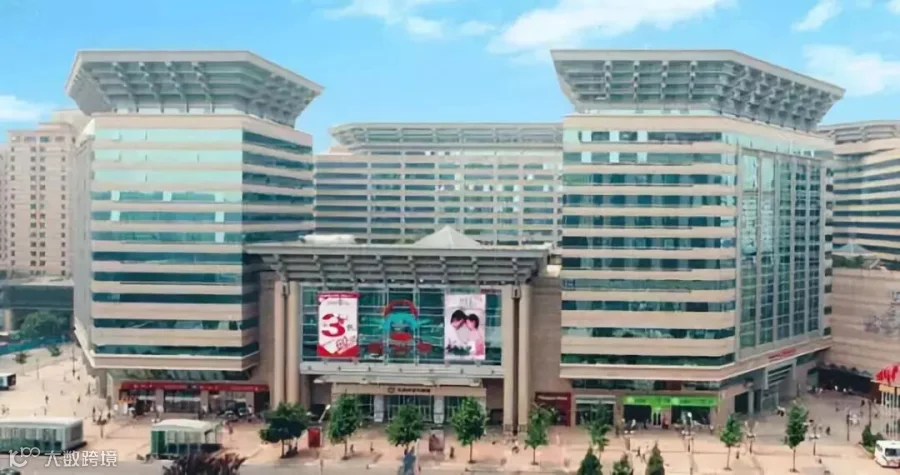
Photo from internet
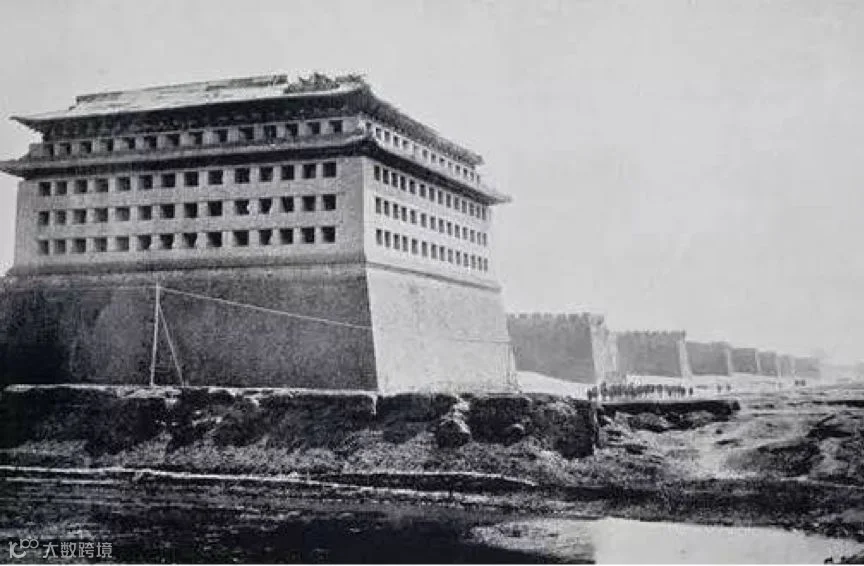
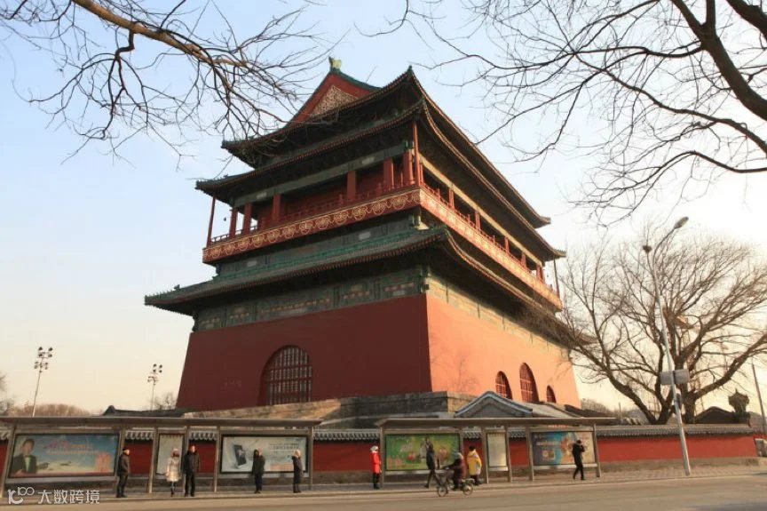
Photo from internet
Beijing’s Drum tower(鼓楼gǔ lóu)
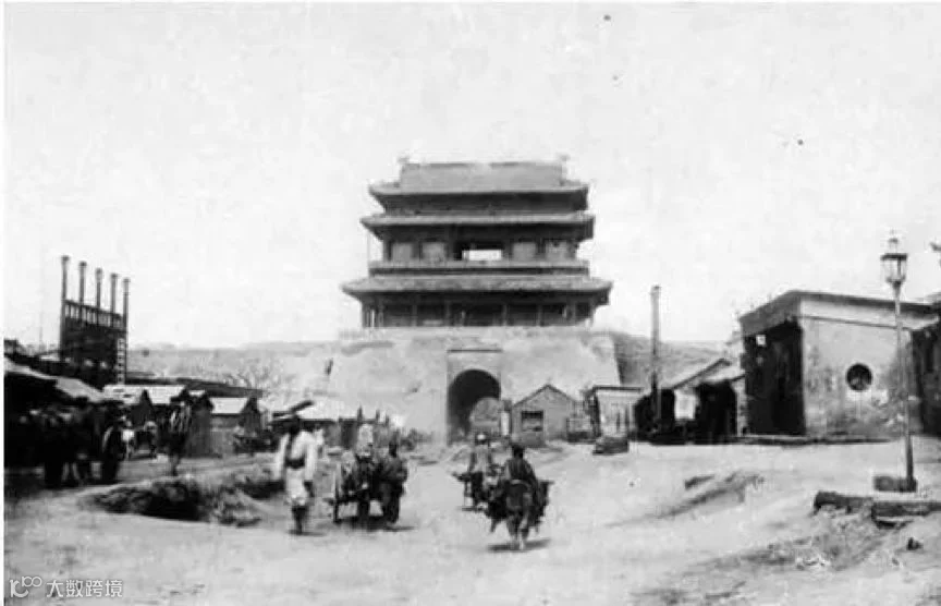
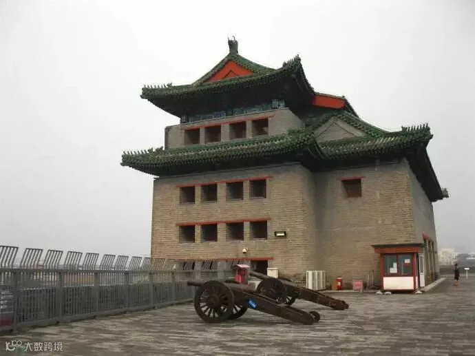
Photo from internet
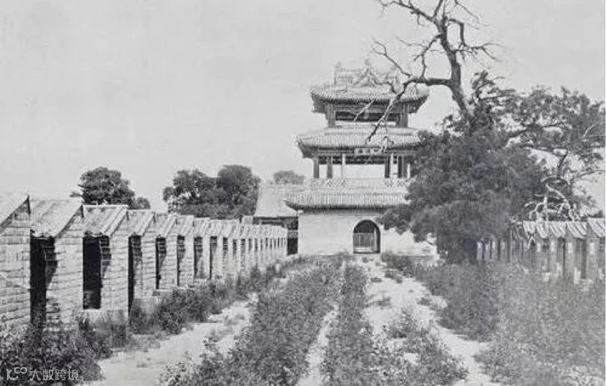
Photo from internet
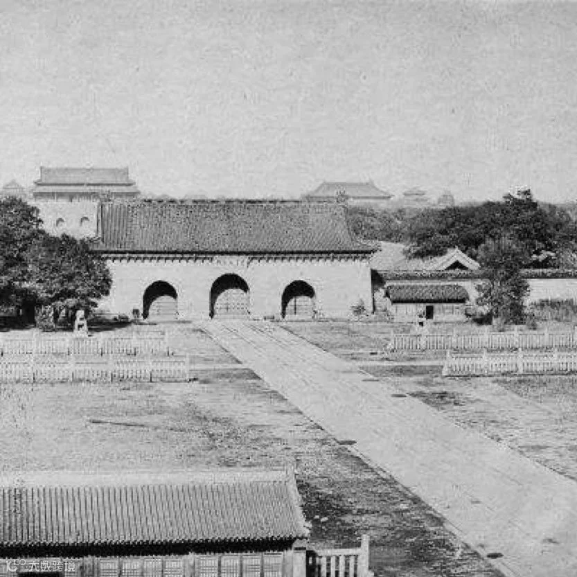
Photo from internet
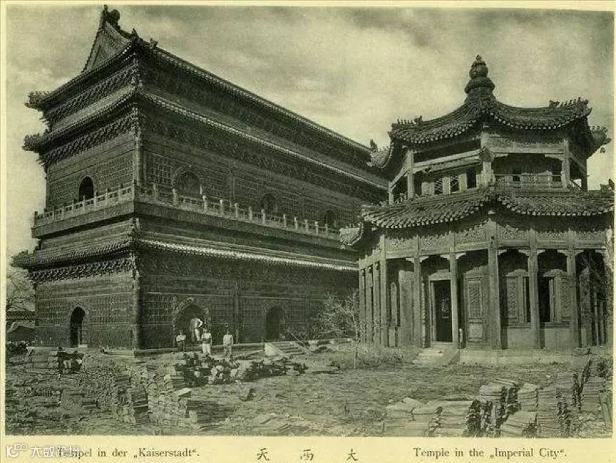
Photo from internet
The former Beihai Imperial city 大(dà)西(xī)天(tiān)
It burnt down in a fire during the Siege of the International Legations, 1900
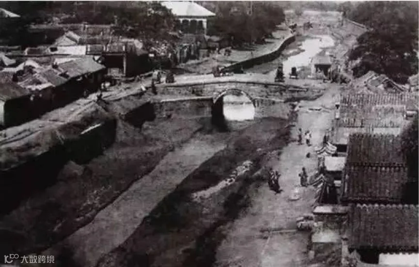
Photo from internet
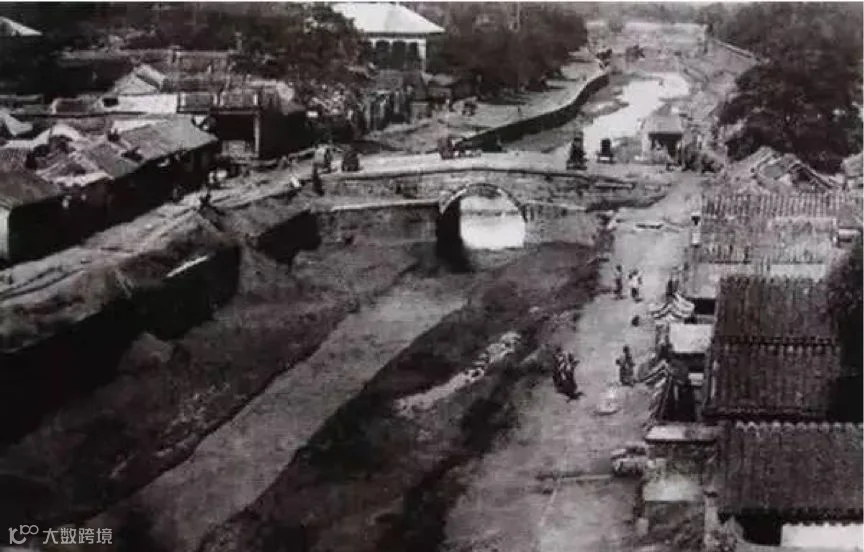
Photo from internet
The Great Wall, definitely not the tourist attraction it is known as today. Look at that undergrowth!
So, how many places have you seen?
In the next article, we will talk about Chinese people in ancient times!
Explore
Beijing
— E N D —
Follow
US