

![]()
![]()
![]()
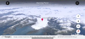
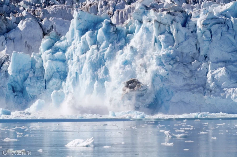
图为哥伦比亚冰川自1984年的变化
Google Earth has launched a time-lapse feature that lets users wind back the clock and see how the world has changed over several decades. The feature uses millions of satellite images from the past 37 years to let people scroll through time. The company says it is the biggest update to Google Earth in four years.
想知道过去几十年,我们赖以生存的地球发生了哪些变化吗?谷歌地球近四年来最大的更新将满足你的好奇心——通过组合过去37年来的卫星图像,谷歌给地球拍了一张延时摄影,用户只需动动手指,就能让时光倒流。
![]()
![]()
![]()
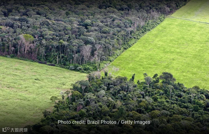
Google is heavily marketing the tool as a way to raise awareness of climate change and other environmental issues. It allows people to see, for example, the retreat of glaciers alongside global warming, or the deforestation of the Amazon over time. It pointed to the shifting sands of Cape Cod and the drying of Kazakhstan’s Aral Sea as striking examples of how the landscape is changing.
谷歌正在大力推广这一工具,希望能够借助延时摄影引起人们对于气候变化及其他环境问题的重视。通过延时摄影,人们可以直观地认识到,气候变暖的威胁之下,冰川是怎样消融的,亚马逊热带雨林的面积又是怎样一点点被蚕食的。地貌景观也会发生变化,比如科德角的流沙以及不断枯竭的咸海。
But it also documents the boom in towns and cities across the world-from the rapid expansion of Las Vegas to the building of artificial islands in Dubai.
但它同时也记录着全球城镇的繁荣兴起,从拉斯维加斯的迅速扩张,到迪拜人工岛的兴建。
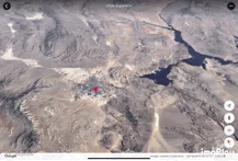
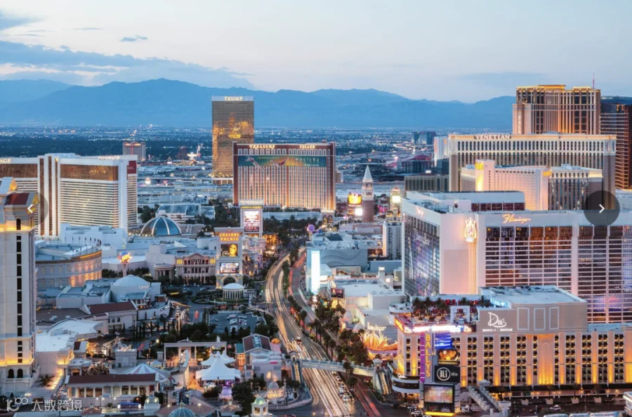
图为拉斯维加斯的城市扩张进程
“We have a clearer picture of our changing planet right at our fingertips-one that shows not just problems but also solutions, as well as mesmerizingly beautiful natural phenomena that unfold over decades,” Google said.
谷歌表示,延时摄影让我们对地球的不断变化有了更清晰的认知——延时摄影不仅能够让我们看到现在的环境问题,更能提供解决方案,此外还能记录下几十年来美丽的自然环境的变迁。
Under the hood, the new version of Google Earth is powered by 24 million different satellite photos, from NASA, the US Geological Survey’s Landsat project, and the EU’s Copernicus project.
外表之下,新版的谷歌地球由2400万张不同的卫星照片构成,分别来自美国国家航空航天局(NASA),美国地理研究会的地球资源探测卫星行动,还有欧盟的哥白尼计划。
![]()
![]()
![]()


Google said the new features “simply wouldn’t have been possible” without the “commitments to open and accessible data” from those space agencies.
谷歌表示如果没有这些太空机构的“公开易查的数据”,这些新功能就“根本不可能付诸现实”。
While the average user will only see a tiny fraction of the system at a time, Google says the animated time-lapse imagery is essentially one giant video mosaic, made up of individual video tiles.
虽然普通用户每次只能看到系统的一小部分,但谷歌公司表示,动画延时图像实际上是一个巨大的拼接视频,由单个视频图块组成。
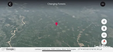
图为玻利维亚森林覆盖面积变化
The 24 million images date back as far as 1984, and take up 20 petabytes - 20 million gigabytes - of storage space, and “quadrillions of pixels”, the company said. Together, they make one single video 4.4 terapixels in size - something Google said is the equivalent of more than half a million 4K ultra-high-resolution videos.
谷歌表明,这2400万张照片最早可追溯到1984年,它们占用了20 PB(2000万GB)的存储空间和“数亿像素”。这2400万张照片合成的单个视频的大小为4.4兆像素,相当于五十多万个4K超高分辨率的视频。
Processing all that data took more than two million hours of computer time - shared among thousands of high-powered machines owned by Google to get the job done in a reasonable timeframe.
计算机花了超过200万个小时去处理所有数据,并由谷歌所拥有的数千台高性能计算机协作,以便在合理的时间内完成工作。
“As far as we know, time-lapse in Google Earth is the largest video on the planet, of our planet,” the company said.
谷歌表示:“据我们所了解,在地球上,Google Earth的延时拍摄是关于地球的视频中内存最大的,同样也是全球目前所有视频中最大的。”
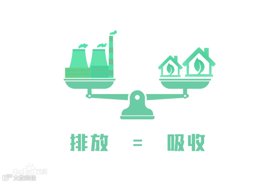
That kind of heavy processing in air-conditioned data centres uses vast amounts of power, and has a significant environmental impact. Google argues that all its data centres are carbon neutral, though it does this through the practice of offsetting - paying for environmental projects to "balance" its use of energy.
在装有空调系统的数据中心进行如此繁重复杂的处理会消耗大量的电力,并且对环境造成极大影响。对此谷歌解释称,其所有数据中心都达到了碳中和,虽然谷歌是通过碳抵消的方法来实现的——为环保项目买单来“平衡”其能源消耗量。
![]()
![]()
![]()


Google says it plans to update this new time-lapse project every year for at least the next decade. “We hope that this perspective of the planet will ground debates, encourage discovery and shift perspectives about some of our most pressing global issues,” it said.
谷歌计划至少在未来十年内每年更新一次这个延时摄影项目,它说:"我们希望,通过这一视角看地球可以为环境问题的辩论提供依据,同时鼓励大家发现并转变我们对一些最紧迫的全球问题的看法。
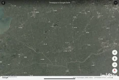
图为松江区自1984年来的变化

Word List
1.time-lapse feature 延时摄影功能
2.the boom in towns and cities 城镇的繁荣兴起
3.carbon neutrality 碳中和
碳中和是指企业、团体或个人测算在一定时间内,直接或间接产生的温室气体排放总量,通过植树造林、节能减排等形式,抵消自身产生的二氧化碳排放,实现二氧化碳的“零排放”。)
//END


编译|王兆隆 余梓骞 常君怡 李艳阳 刘予萌
排版|刘予萌
图片源于Google Earth及网络
原文链接:https://www.bbc.com/news/technology-56760060

点击“阅读原文”,来看看Google Earth上你的家乡四十年来的变化吧!